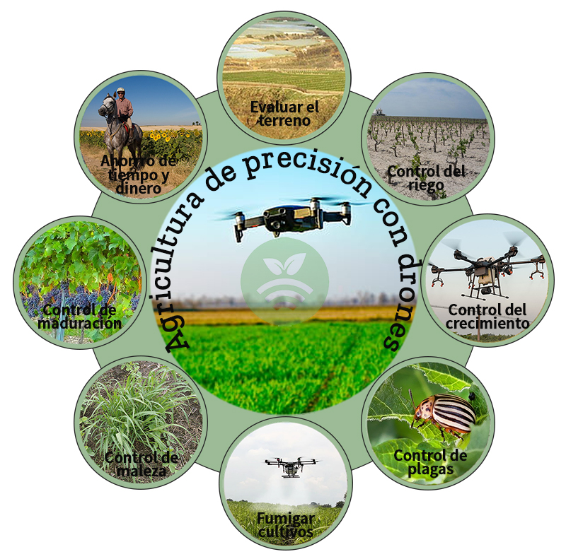
Satellite images and drones in the agroforestry field
The company teaches a course of maximum interest to farmers and all professionals in the forest environment on February 28, 29 and March 1, 2020 in Ciudad Real.

The company teaches a course of maximum interest to farmers and all professionals in the forest environment on February 28, 29 and March 1, 2020 in Ciudad Real.
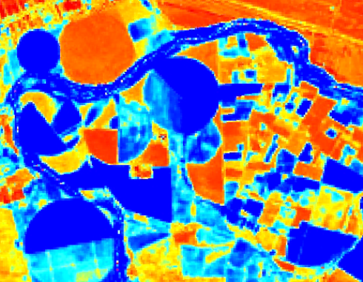
Agriculture uses Remote Sensing satellite or aerial imagery to prosper, putting space engineering at its service.
The company teaches a course of maximum interest to farmers and all professionals in the forest environment on February 28, 29 and March 1, 2020 in Ciudad Real.
Agriculture uses Remote Sensing satellite or aerial imagery to prosper, putting space engineering at its service.