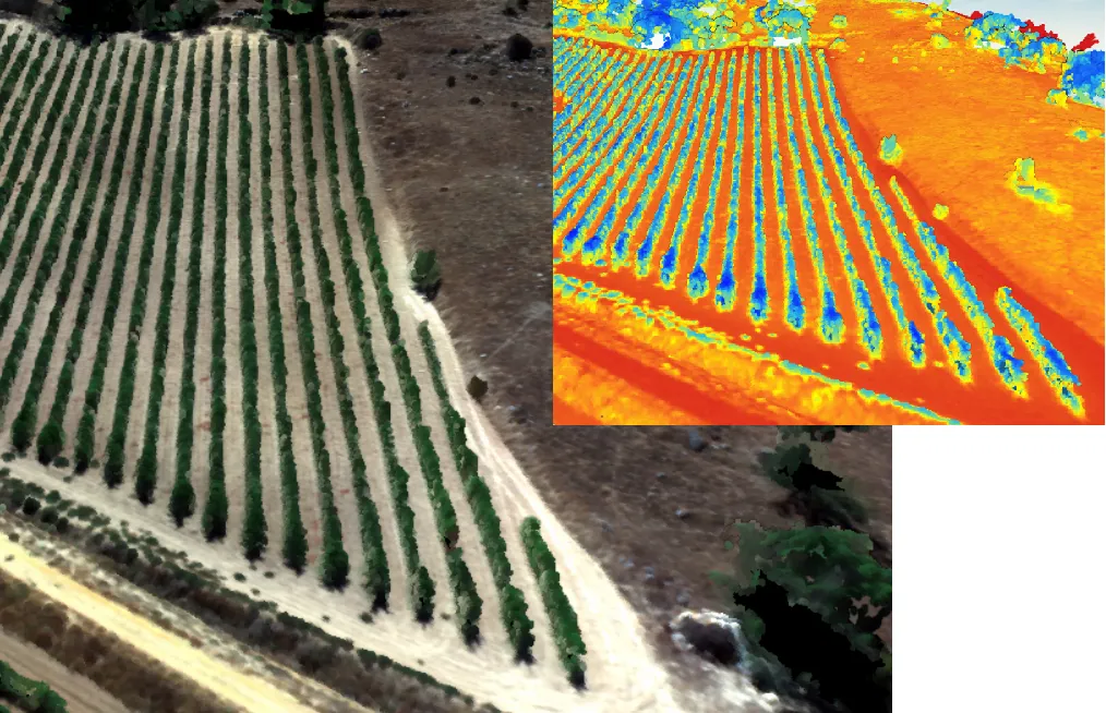
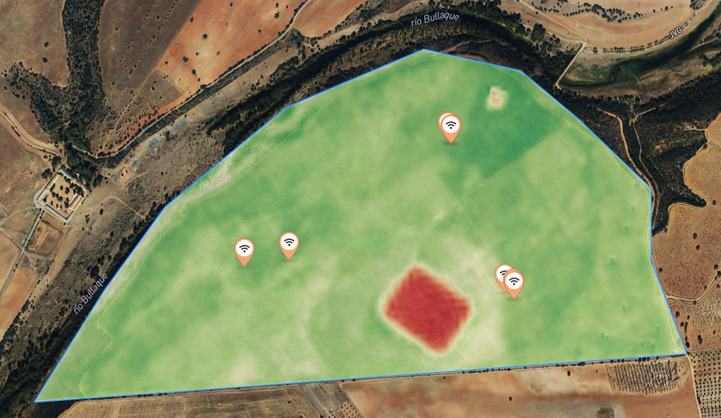
NDVI
Vegetative index most used in agriculture. Used to estimate the quantity, quality and development of vegetation based on the measurement of the intensity of radiation of certain bands of the electromagnetic spectrum that the vegetation emits or reflects. Suitable for estimating crop vigor/health. It allows you to optimize nutritional contributions.
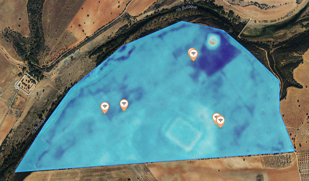
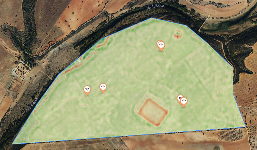
NDMI
Vegetative index most used in agriculture. Used to estimate the quantity, quality and development of vegetation based on the measurement of the intensity of radiation of certain bands of the electromagnetic spectrum that the vegetation emits or reflects. Suitable for estimating crop vigor/health. It allows you to optimize nutritional contributions.
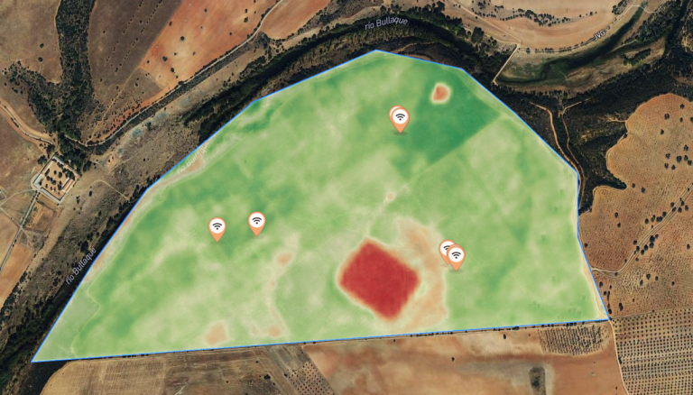
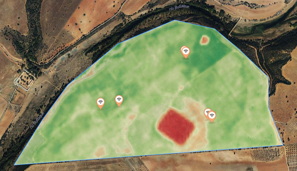
NDWI
Used as a measure of the level of moisture saturation that the soil has. Used in agriculture for the detection and location of flooded lands. Mainly, it provides us with information about the level of humidity/water saturation of the soil. Complementary to indices such as NDMI or NDVI.
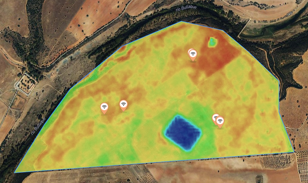
GNDVI
This is an index that shows us the “greenness” of the plant or photosynthetic activity. It is a modification of the NDVI, widely used to determine the uptake of water and nitrogen in the vegetative canopy of the crop. At times close to harvest, it measures chlorophyll content more accurately than NDVI. Used to detect withered or aging crops, as well as monitor vegetation with dense vegetative canopy. Complementary to NDVI since its values do not saturate in times of greater maturity.
NDRE
Completely complementary to NDVI. In fact, it is recommended to use both indices together, with the difference that this index uses the near red band instead of red, providing more information on the spectral behavior of vegetation vigor. It offers better results when the NDVI shows saturation in the values. Used to know the nutritional status of the crop thanks to its direct relationship with the amount of nitrogen. It is normally used on dates close to the harvest or the maturity phase.
SAVI
Recommended index in the early stages of crop development, as well as in areas where there is little vegetation cover since it corrects the influence of brightness and noise effects of the soil. Similar to NDVI but with a correction factor (L).